|
PINE ISLAND, FLORIDA
|
Pine Island (in Lee County) is the largest island (17 miles long and 2 miles wide) on the west coast of Florida, just 15-20 minutes from Cape Coral, 30 minutes from Ft. Myers and one hour from Southwest Florida International Airport (RSW).
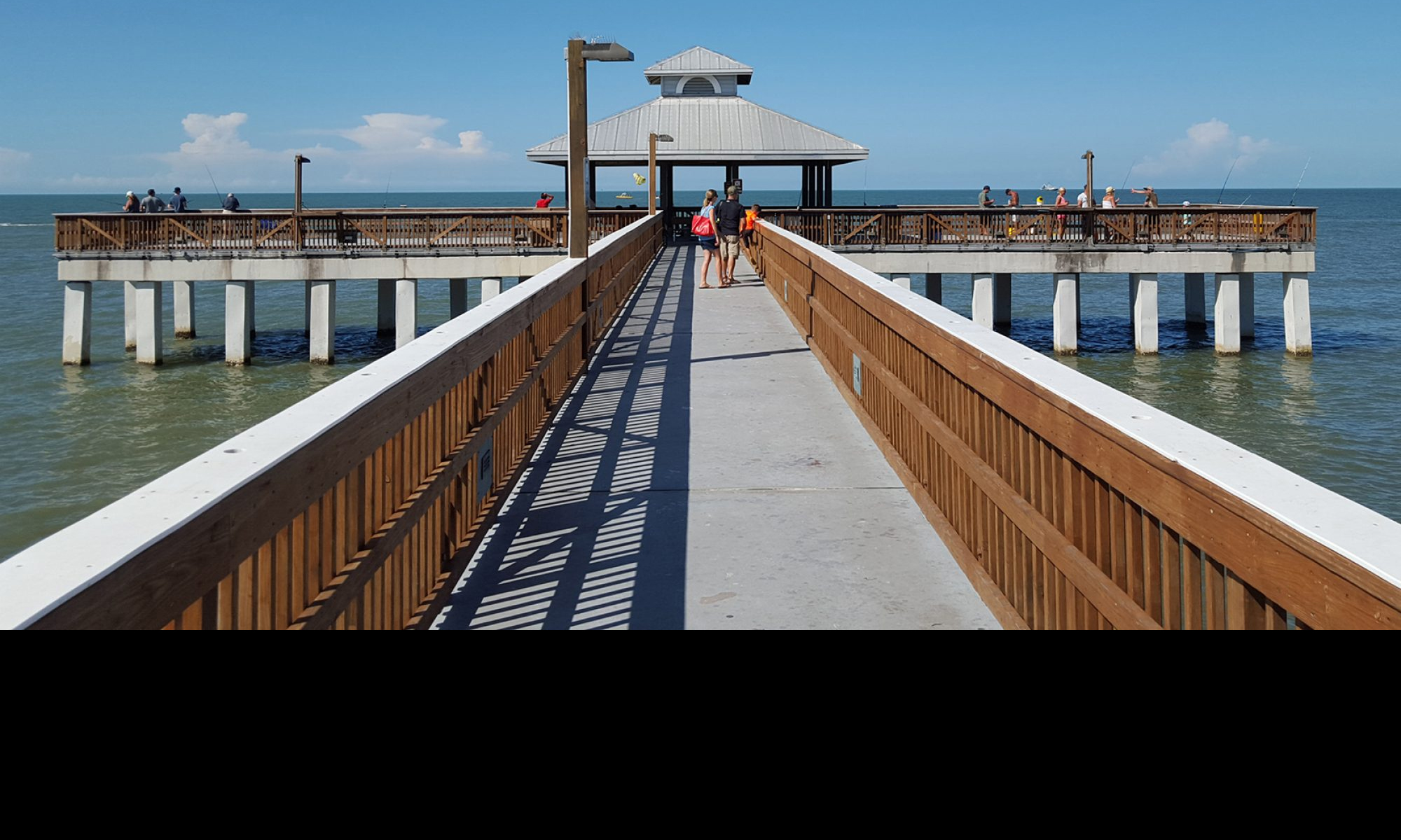
Pine Island’s secluded, quaint and “country waterfront” atmosphere is a huge part of its charm. Fringed with mangroves rather than white sand beaches, Pine Island has escaped the concrete, blacktop and skyscrapers found in the more touristy, beachy communities. Current legislation prohibits high density, high-rise development in the foreseeable future . . . designed to preserve our unique, rural island heritage for generations to come.
Need Directions to Pine Island?
From the north* or south, traveling on Interstate I-75, take exit 143 (old 26) onto State Road SR78, west (the same road is named Bayshore Road to US 41 and Pine Island Road still heading west from US 41) until you reach the most western end of the road. At this point, you will be at the Center of Pine Island, where you must decide, whether to turn right (north) onto Route 767 (Stringfellow Road) which takes you to Pineland and Bokeelia, OR to turn left (south) also onto Stringfellow Road which will take you to St. James City. It is approximately 8 1/2 miles to the northern tip of the island and the same 8 1/2 miles to the southern tip. That is how we “figgered” that Pine Island is 17 miles long!
If we can help you with directions from Southwest Florida International Airport, we will be glad to give you our best and most direct route.
*If coming from the north, your best bet is to exit I-75 at old Exit 28. Then jump onto SR 765, Burnt Store Road by crossing US 41 at the light. After some 20 or so miles, this will bring you to Pine Island Road intersection, SR 78. Turn right and you will soon be entering Matlacha and Pine Island.
|